AHB (automatic half-barrier) level crossing, Pwllheli
Introduction
The photograph on this page of AHB (automatic half-barrier) level crossing, Pwllheli by Bill Harrison as part of the Geograph project.
The Geograph project started in 2005 with the aim of publishing, organising and preserving representative images for every square kilometre of Great Britain, Ireland and the Isle of Man.

There are currently over 7.5m images from over 14,400 individuals and you can help contribute to the project by visiting https://www.geograph.org.uk
AHB (automatic half-barrier) level crossing, Pwllheli
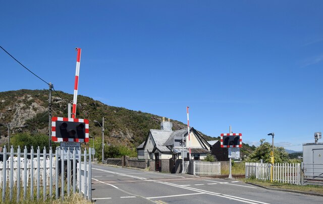
Image: © Bill Harrison Taken: 9 Jul 2022
The road leads to the marina with an outcrop of the Allt Fawr rhyolitic tuff formation in the background, being igneous bedrock formed between 458.4 and 449 million years ago during the Ordovician period.
Images are licensed for reuse under creativecommons.org/licenses/by-sa/2.0
Image Location
Latitude
52.891092
Longitude
-4.40677