Wood End, Lockwood
Introduction
The photograph on this page of Wood End, Lockwood by Stephen Craven as part of the Geograph project.
The Geograph project started in 2005 with the aim of publishing, organising and preserving representative images for every square kilometre of Great Britain, Ireland and the Isle of Man.

There are currently over 7.5m images from over 14,400 individuals and you can help contribute to the project by visiting https://www.geograph.org.uk
Wood End, Lockwood
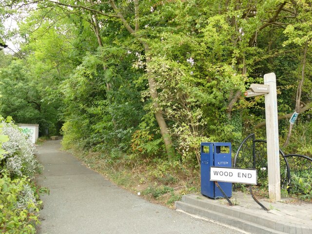
Image: © Stephen Craven Taken: 25 Sep 2022
A sign indicates the start of an 800m walking and cycling route known as Riverside Way, towards Huddersfield town centre.
Images are licensed for reuse under creativecommons.org/licenses/by-sa/2.0
Image Location
Latitude
53.632157
Longitude
-1.793242