Former Scarr Mill, Lockwood Scar
Introduction
The photograph on this page of Former Scarr Mill, Lockwood Scar by Stephen Craven as part of the Geograph project.
The Geograph project started in 2005 with the aim of publishing, organising and preserving representative images for every square kilometre of Great Britain, Ireland and the Isle of Man.

There are currently over 7.5m images from over 14,400 individuals and you can help contribute to the project by visiting https://www.geograph.org.uk
Former Scarr Mill, Lockwood Scar
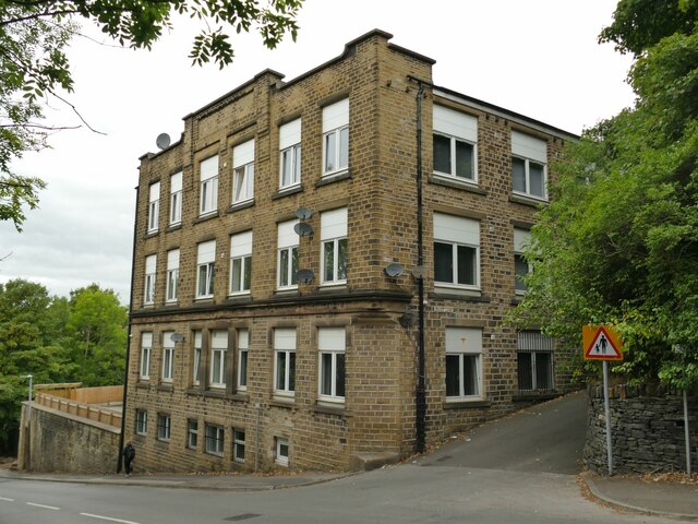
Image: © Stephen Craven Taken: 25 Sep 2022
A former woollen mill, now converted to apartments and known as Sovereign Court. The road to the right is Enoch Lane.
Images are licensed for reuse under creativecommons.org/licenses/by-sa/2.0
Image Location
Latitude
53.631886
Longitude
-1.792336