Former Capel Mawr Calvinistic Methodist Chapel, High Street, Criccieth
Introduction
The photograph on this page of Former Capel Mawr Calvinistic Methodist Chapel, High Street, Criccieth by Bill Harrison as part of the Geograph project.
The Geograph project started in 2005 with the aim of publishing, organising and preserving representative images for every square kilometre of Great Britain, Ireland and the Isle of Man.

There are currently over 7.5m images from over 14,400 individuals and you can help contribute to the project by visiting https://www.geograph.org.uk
Former Capel Mawr Calvinistic Methodist Chapel, High Street, Criccieth
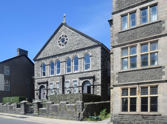
Image: © Bill Harrison Taken: 9 Jul 2022
Probably built around 1822 and Grade II listed by Cadw (15371 https://cadwpublic-api.azurewebsites.net/reports/listedbuilding/FullReport?lang=&id=15371 ). Now in residential use.
Images are licensed for reuse under creativecommons.org/licenses/by-sa/2.0
Image Location
Latitude
52.919425
Longitude
-4.236077