Llowes Common
Introduction
The photograph on this page of Llowes Common by Gordon Hatton as part of the Geograph project.
The Geograph project started in 2005 with the aim of publishing, organising and preserving representative images for every square kilometre of Great Britain, Ireland and the Isle of Man.

There are currently over 7.5m images from over 14,400 individuals and you can help contribute to the project by visiting https://www.geograph.org.uk
Llowes Common
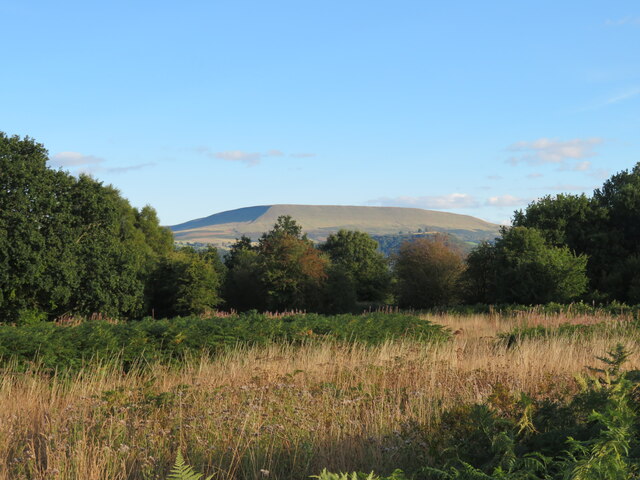
Image: © Gordon Hatton Taken: 16 Sep 2022
Small area of common/open access land near Old Forest. Not particularly inviting for a walker due to the thick vegetation which includes plenty of bracken and briars. The view is towards Hay Bluff on the Black Mountains.
Images are licensed for reuse under creativecommons.org/licenses/by-sa/2.0
Image Location
Latitude
52.08159
Longitude
-3.172201