Farm at Gaer
Introduction
The photograph on this page of Farm at Gaer by Gordon Hatton as part of the Geograph project.
The Geograph project started in 2005 with the aim of publishing, organising and preserving representative images for every square kilometre of Great Britain, Ireland and the Isle of Man.

There are currently over 7.5m images from over 14,400 individuals and you can help contribute to the project by visiting https://www.geograph.org.uk
Farm at Gaer
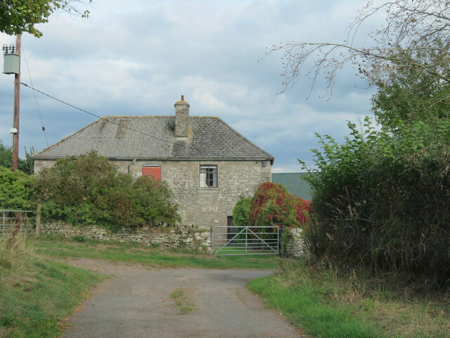
Image: © Gordon Hatton Taken: 21 Sep 2022
Situated at the side of what must be one of the narrowest and roughest 'yellow roads' shown on the OS map. Not just narrow, but with grass down the middle long enough to brush the underside of a car.
Images are licensed for reuse under creativecommons.org/licenses/by-sa/2.0
Image Location
Latitude
52.068207
Longitude
-3.206427