Cattle grid on a country lane
Introduction
The photograph on this page of Cattle grid on a country lane by Gordon Hatton as part of the Geograph project.
The Geograph project started in 2005 with the aim of publishing, organising and preserving representative images for every square kilometre of Great Britain, Ireland and the Isle of Man.

There are currently over 7.5m images from over 14,400 individuals and you can help contribute to the project by visiting https://www.geograph.org.uk
Cattle grid on a country lane
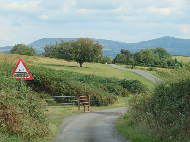
Image: © Gordon Hatton Taken: 21 Sep 2022
The road towards Ffynnon Gynydd enters a patch of common land here for just a few hundred metres before once again becoming a narrow lane between high hedges.
Images are licensed for reuse under creativecommons.org/licenses/by-sa/2.0
Image Location
Latitude
52.081338
Longitude
-3.257712