Public Bridleway near Bedlington Bridge, Bedlington
Introduction
The photograph on this page of Public Bridleway near Bedlington Bridge, Bedlington by Geoff Holland as part of the Geograph project.
The Geograph project started in 2005 with the aim of publishing, organising and preserving representative images for every square kilometre of Great Britain, Ireland and the Isle of Man.

There are currently over 7.5m images from over 14,400 individuals and you can help contribute to the project by visiting https://www.geograph.org.uk
Public Bridleway near Bedlington Bridge, Bedlington
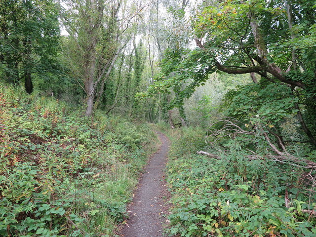
Image: © Geoff Holland Taken: 27 Sep 2022
This public bridleway, which starts at Attlee Park https://www.geograph.org.uk/photo/7296800, follows the River Blyth downstream, to reach Furnace Bridge https://www.geograph.org.uk/photo/287924 and the site of the former Bedlington Iron Works after approximately 1 mile (1.58km).
Images are licensed for reuse under creativecommons.org/licenses/by-sa/2.0
Image Location
Latitude
55.126448
Longitude
-1.584094