Old milestone
Introduction
The photograph on this page of Old milestone by Terry Moore as part of the Geograph project.
The Geograph project started in 2005 with the aim of publishing, organising and preserving representative images for every square kilometre of Great Britain, Ireland and the Isle of Man.

There are currently over 7.5m images from over 14,400 individuals and you can help contribute to the project by visiting https://www.geograph.org.uk
Old milestone
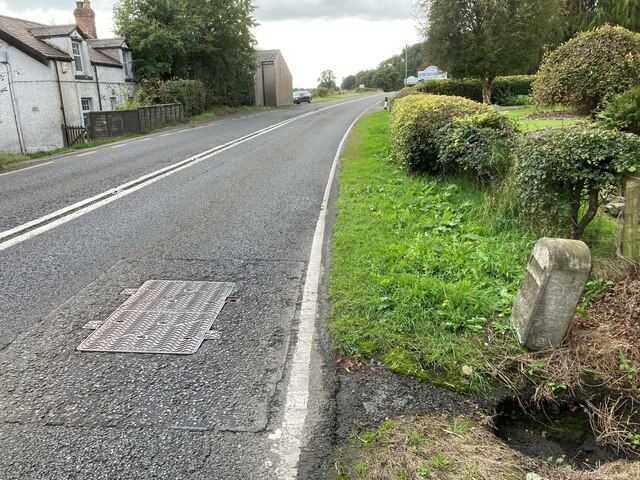
Image: © Terry Moore Taken: 26 Sep 2022
Looking southwards along the A7 at the Scotsdike border between Scotland and England. The little stream, Dimmisdaill Syke, disappears under the road surface. The metal cover has BT on it so the stream may reach the River Esk which is behind Rose Cottage on the east side of the road. Although the milestone is leaning it was like that in 2014 so is relatively safe.
Images are licensed for reuse under creativecommons.org/licenses/by-sa/2.0
Image Location
Latitude
55.049498
Longitude
-2.960831