Old milestone
Introduction
The photograph on this page of Old milestone by Terry Moore as part of the Geograph project.
The Geograph project started in 2005 with the aim of publishing, organising and preserving representative images for every square kilometre of Great Britain, Ireland and the Isle of Man.

There are currently over 7.5m images from over 14,400 individuals and you can help contribute to the project by visiting https://www.geograph.org.uk
Old milestone
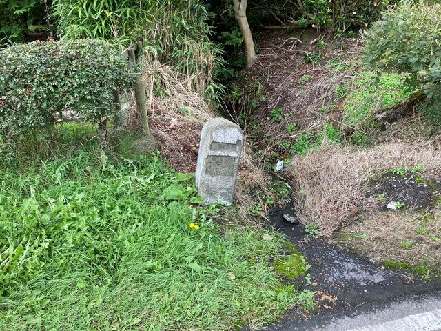
Image: © Terry Moore Taken: 26 Sep 2022
This milestone on the A7 which is the same style as others which have also lost their plates on the road towards Edinburgh is only just south of the border with Scotland. The little stream, Dimmisdaill Syke, which flows between two houses, Orchard View to the south in England and Eskdale Cottage to the north in Scotland is the line of the border. The narrow plate may have had Edinburgh 81½ with Carlisle 12½/Longtown 3½ on the lower plate.
Images are licensed for reuse under creativecommons.org/licenses/by-sa/2.0
Image Location
Latitude
55.049464
Longitude
-2.960611