A path around the National Trust headland
Introduction
The photograph on this page of A path around the National Trust headland by Neil Owen as part of the Geograph project.
The Geograph project started in 2005 with the aim of publishing, organising and preserving representative images for every square kilometre of Great Britain, Ireland and the Isle of Man.

There are currently over 7.5m images from over 14,400 individuals and you can help contribute to the project by visiting https://www.geograph.org.uk
A path around the National Trust headland
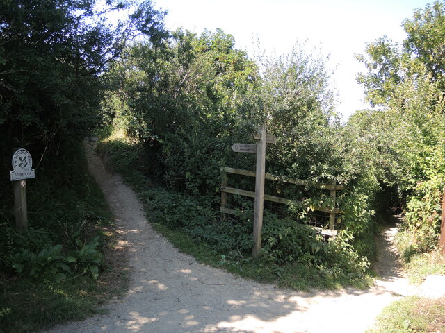
Image: © Neil Owen Taken: 9 Aug 2022
Take the left track and it will take you around the Seven Hills enclosure and off around the coast using the Tarka Trail. To the right is the path down to the shore and the west end of Ilfracombe.
Images are licensed for reuse under creativecommons.org/licenses/by-sa/2.0
Image Location
Latitude
51.207816
Longitude
-4.131244