Bridge over the Nailbourne, Bekesbourne
Introduction
The photograph on this page of Bridge over the Nailbourne, Bekesbourne by pam fray as part of the Geograph project.
The Geograph project started in 2005 with the aim of publishing, organising and preserving representative images for every square kilometre of Great Britain, Ireland and the Isle of Man.

There are currently over 7.5m images from over 14,400 individuals and you can help contribute to the project by visiting https://www.geograph.org.uk
Bridge over the Nailbourne, Bekesbourne
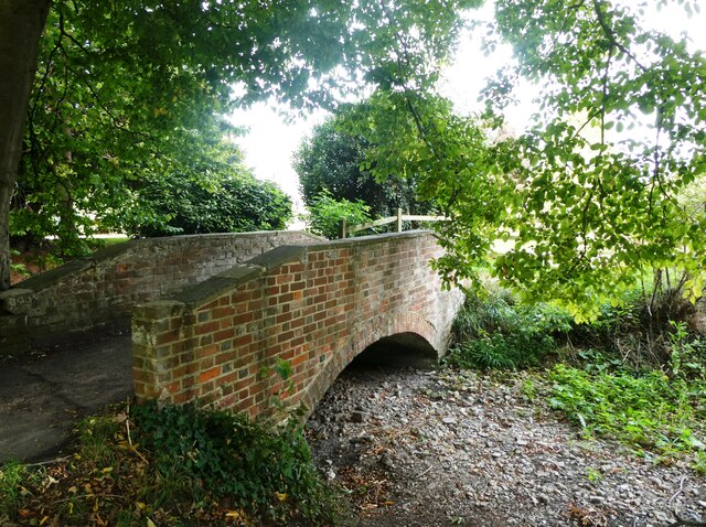
Image: © pam fray Taken: 27 Sep 2022
By Old Palace Road. The bridge was built in 1776 and is Grade II listed. The Little Stour is one of the tributaries of the River Stour and the upper reaches of the river is known as the Nailbourne. The intermittent source of the Nailbourne is at Lyminge. At the moment the Nailbourne is dry.
Images are licensed for reuse under creativecommons.org/licenses/by-sa/2.0
Image Location
Latitude
51.256696
Longitude
1.143099