Main Road, Walter's Ash
Introduction
The photograph on this page of Main Road, Walter's Ash by David Howard as part of the Geograph project.
The Geograph project started in 2005 with the aim of publishing, organising and preserving representative images for every square kilometre of Great Britain, Ireland and the Isle of Man.

There are currently over 7.5m images from over 14,400 individuals and you can help contribute to the project by visiting https://www.geograph.org.uk
Main Road, Walter's Ash
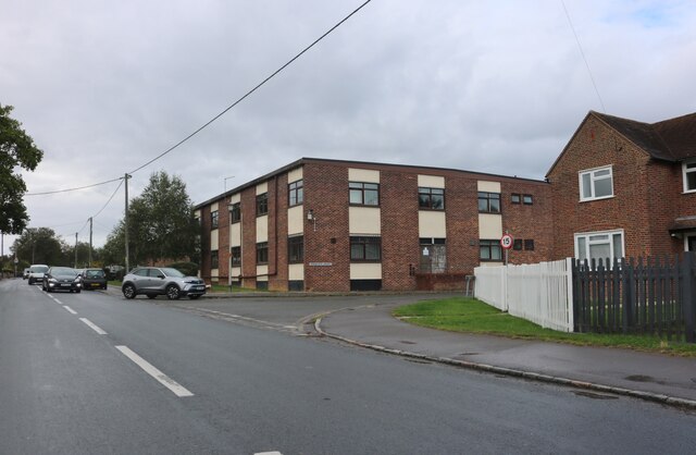
Image: © David Howard Taken: 27 Sep 2022
The block is part of RAF High Wycombe which is spread along the road.
Images are licensed for reuse under creativecommons.org/licenses/by-sa/2.0
Image Location
Latitude
51.673528
Longitude
-0.788377