Ashgrove House
Introduction
The photograph on this page of Ashgrove House by Alexander P Kapp as part of the Geograph project.
The Geograph project started in 2005 with the aim of publishing, organising and preserving representative images for every square kilometre of Great Britain, Ireland and the Isle of Man.

There are currently over 7.5m images from over 14,400 individuals and you can help contribute to the project by visiting https://www.geograph.org.uk
Ashgrove House
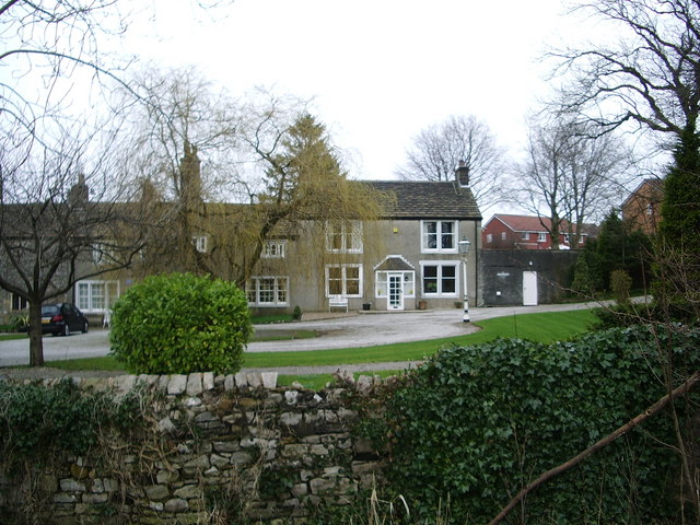
Image: © Alexander P Kapp Taken: 29 Feb 2008
Built around 1681 as one building, with the part now called Shaw Cottage
Images are licensed for reuse under creativecommons.org/licenses/by-sa/2.0
Image Location


Leaflet Map data © OpenStreetMap
Latitude
53.870796
Longitude
-2.385642