Footpath from Woodhead Road to Blagden Lane
Introduction
The photograph on this page of Footpath from Woodhead Road to Blagden Lane by Stephen Craven as part of the Geograph project.
The Geograph project started in 2005 with the aim of publishing, organising and preserving representative images for every square kilometre of Great Britain, Ireland and the Isle of Man.

There are currently over 7.5m images from over 14,400 individuals and you can help contribute to the project by visiting https://www.geograph.org.uk
Footpath from Woodhead Road to Blagden Lane
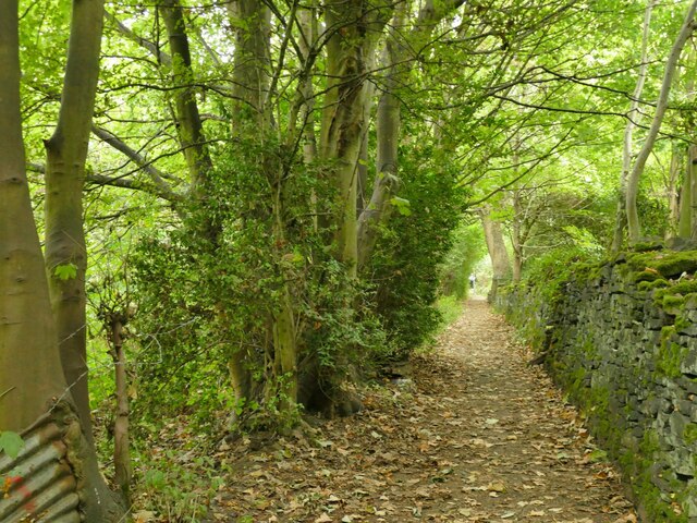
Image: © Stephen Craven Taken: 25 Sep 2022
The footpath leads uphill for 450 metres, mostly through woodland.
Images are licensed for reuse under creativecommons.org/licenses/by-sa/2.0
Image Location
Latitude
53.629908
Longitude
-1.791892