Shared-use path by Newdale Pond
Introduction
The photograph on this page of Shared-use path by Newdale Pond by Richard Law as part of the Geograph project.
The Geograph project started in 2005 with the aim of publishing, organising and preserving representative images for every square kilometre of Great Britain, Ireland and the Isle of Man.

There are currently over 7.5m images from over 14,400 individuals and you can help contribute to the project by visiting https://www.geograph.org.uk
Shared-use path by Newdale Pond
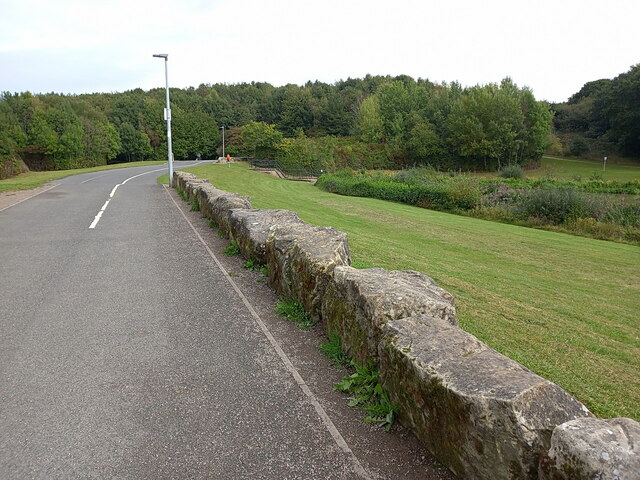
Image: © Richard Law Taken: 20 Sep 2022
The stones on the side of the path here appear to have been previously shaped into large, roughly blocks. It's hard to tell where they came from, but I suspect they are left over from a previous industrial site in the area, which is known as Lawley Furnaces. There was extensive coal (and some iron ore) mining nearby in the 18th & 19th centuries, and the old Image lies not far away, so they may have been part of the trackway for that.
Images are licensed for reuse under creativecommons.org/licenses/by-sa/2.0
Image Location
Latitude
52.681684
Longitude
-2.479658