Exe Valley Way approaching Thorverton
Introduction
The photograph on this page of Exe Valley Way approaching Thorverton by Derek Harper as part of the Geograph project.
The Geograph project started in 2005 with the aim of publishing, organising and preserving representative images for every square kilometre of Great Britain, Ireland and the Isle of Man.

There are currently over 7.5m images from over 14,400 individuals and you can help contribute to the project by visiting https://www.geograph.org.uk
Exe Valley Way approaching Thorverton
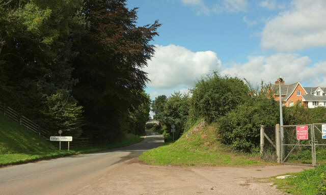
Image: © Derek Harper Taken: 18 Sep 2022
The scene in Image minus walkers; in my case they had gone the other way. In the immediate foreground the lane crosses the course of the dismantled Exe Valley Railway. The remaining buildings of Thorverton station lie just off to the left. "Both the station and the stationmaster's house remain in use as houses, the former extended using stone from the demolished goods shed" https://en.wikipedia.org/wiki/Exe_Valley_Railway#CITEREFOakley2007
Images are licensed for reuse under creativecommons.org/licenses/by-sa/2.0
Image Location
Latitude
50.805258
Longitude
-3.516482