Cull's Road, Flexford
Introduction
The photograph on this page of Cull's Road, Flexford by Des Blenkinsopp as part of the Geograph project.
The Geograph project started in 2005 with the aim of publishing, organising and preserving representative images for every square kilometre of Great Britain, Ireland and the Isle of Man.

There are currently over 7.5m images from over 14,400 individuals and you can help contribute to the project by visiting https://www.geograph.org.uk
Cull's Road, Flexford
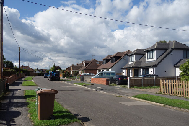
Image: © Des Blenkinsopp Taken: 16 Sep 2022
Flexford is a largely 20th century suburban style village in a rural setting presumably based on the commuter rail connection at Wanborough Station.
Images are licensed for reuse under creativecommons.org/licenses/by-sa/2.0
Image Location


Leaflet Map data © OpenStreetMap
Latitude
51.242787
Longitude
-0.670073