Buffs Road
Introduction
The photograph on this page of Buffs Road by John Baker as part of the Geograph project.
The Geograph project started in 2005 with the aim of publishing, organising and preserving representative images for every square kilometre of Great Britain, Ireland and the Isle of Man.

There are currently over 7.5m images from over 14,400 individuals and you can help contribute to the project by visiting https://www.geograph.org.uk
Buffs Road
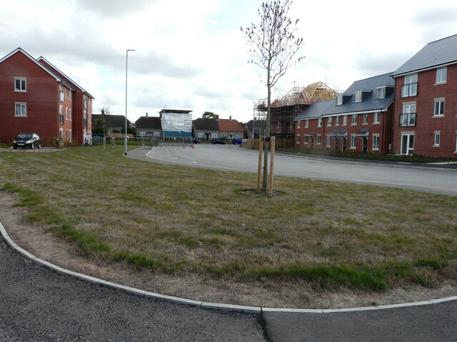
Image: © John Baker Taken: 28 Aug 2022
The development has been named Royal Parade. The house covered in plastic sheeting is number 9 Littlebourne Road for which planning permission has been approved by Canterbury City Council under application numbers CA/22/00548 for “a two storey and single-storey rear extension” and CA/22/00289 to “rebuild fire damaged roof, first floor rear extension, roof lights to rear, and removal of chimney”.
Images are licensed for reuse under creativecommons.org/licenses/by-sa/2.0
Image Location
Latitude
51.277782
Longitude
1.101229