The new Southwick Bridge over the Lambrok Stream
Introduction
The photograph on this page of The new Southwick Bridge over the Lambrok Stream by Neil Owen as part of the Geograph project.
The Geograph project started in 2005 with the aim of publishing, organising and preserving representative images for every square kilometre of Great Britain, Ireland and the Isle of Man.

There are currently over 7.5m images from over 14,400 individuals and you can help contribute to the project by visiting https://www.geograph.org.uk
The new Southwick Bridge over the Lambrok Stream
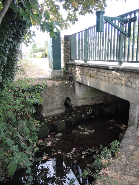
Image: © Neil Owen Taken: 4 Aug 2022
The stream runs across the eastern side of the village. With it being an important route the bridge was rebuilt around the 1990s, and it now runs closer to the open air baptistery. Fixed to the side of the railings is a green tube - presumably a water level monitor.
Images are licensed for reuse under creativecommons.org/licenses/by-sa/2.0
Image Location
Latitude
51.295072
Longitude
-2.230282