The Sandelford Bridge, Coleraine
Introduction
The photograph on this page of The Sandelford Bridge, Coleraine by Albert Bridge as part of the Geograph project.
The Geograph project started in 2005 with the aim of publishing, organising and preserving representative images for every square kilometre of Great Britain, Ireland and the Isle of Man.

There are currently over 7.5m images from over 14,400 individuals and you can help contribute to the project by visiting https://www.geograph.org.uk
The Sandelford Bridge, Coleraine
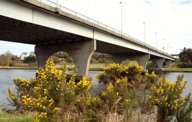
Image: © Albert Bridge Taken: 18 Mar 2008
See Image The Sandelford Bridge carries the ring road across the Bann. It was the vantage point for Image The river is flowing from right to left.
Images are licensed for reuse under creativecommons.org/licenses/by-sa/2.0
Image Location


Leaflet Map data © OpenStreetMap
Latitude
55.122916
Longitude
-6.669533