Whitehorse Road Recreation Ground
Introduction
The photograph on this page of Whitehorse Road Recreation Ground by Marathon as part of the Geograph project.
The Geograph project started in 2005 with the aim of publishing, organising and preserving representative images for every square kilometre of Great Britain, Ireland and the Isle of Man.

There are currently over 7.5m images from over 14,400 individuals and you can help contribute to the project by visiting https://www.geograph.org.uk
Whitehorse Road Recreation Ground
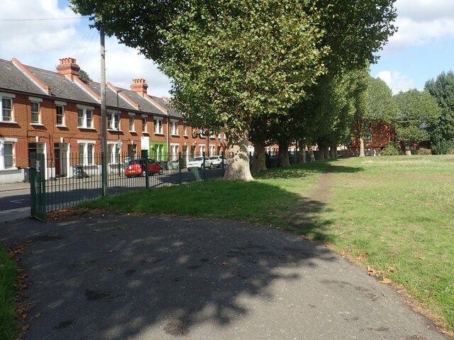
Image: © Marathon Taken: 15 Sep 2022
Whitehorse Road Recreation Ground was acquired by Croydon Council in 1891 as an informal play area for local children. An enclosed rest garden was built for elderly people to use and also a shelter. A fire was provided for them in the winter months. During the Second World War the main part of the field was used for ARP Shelters.
Images are licensed for reuse under creativecommons.org/licenses/by-sa/2.0
Image Location
Latitude
51.390525
Longitude
-0.096192