A bridleway on the border of Stourbridge
Introduction
The photograph on this page of A bridleway on the border of Stourbridge by Oliver Mills as part of the Geograph project.
The Geograph project started in 2005 with the aim of publishing, organising and preserving representative images for every square kilometre of Great Britain, Ireland and the Isle of Man.

There are currently over 7.5m images from over 14,400 individuals and you can help contribute to the project by visiting https://www.geograph.org.uk
A bridleway on the border of Stourbridge
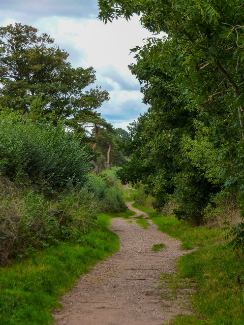
Image: © Oliver Mills Taken: 18 Sep 2022
This bridleway runs along the edge of Norton, the suburban area to the South of Stourbridge. Part of this bridleway, further to the South, forms the remains of a Roman Road.
Images are licensed for reuse under creativecommons.org/licenses/by-sa/2.0
Image Location
Latitude
52.44403
Longitude
-2.171646