Alley near the Baptist Church
Introduction
The photograph on this page of Alley near the Baptist Church by Pauline E as part of the Geograph project.
The Geograph project started in 2005 with the aim of publishing, organising and preserving representative images for every square kilometre of Great Britain, Ireland and the Isle of Man.

There are currently over 7.5m images from over 14,400 individuals and you can help contribute to the project by visiting https://www.geograph.org.uk
Alley near the Baptist Church
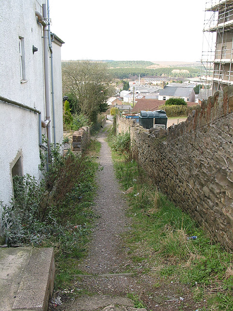
Image: © Pauline E Taken: 17 Mar 2008
In my home county this would be known as a snicket - others may call it an alley, a ginnel or a jigger. It links Commercial Street with Victoria Street.
Images are licensed for reuse under creativecommons.org/licenses/by-sa/2.0
Image Location
Latitude
51.821575
Longitude
-2.500787