Parapet of bridge taking A167 over track of dismantled railway
Introduction
The photograph on this page of Parapet of bridge taking A167 over track of dismantled railway by Roger Templeman as part of the Geograph project.
The Geograph project started in 2005 with the aim of publishing, organising and preserving representative images for every square kilometre of Great Britain, Ireland and the Isle of Man.

There are currently over 7.5m images from over 14,400 individuals and you can help contribute to the project by visiting https://www.geograph.org.uk
Parapet of bridge taking A167 over track of dismantled railway
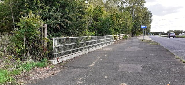
Image: © Roger Templeman Taken: 17 Sep 2022
The track is now a footpath. Ordnance Survey records indicate that a benchmark was levelled at 88.115m above Newlyn Datum on the near end of a parapet of a bridge here
Images are licensed for reuse under creativecommons.org/licenses/by-sa/2.0
Image Location
Latitude
54.917087
Longitude
-1.589218