Building detail, Coventry Council House
Introduction
The photograph on this page of Building detail, Coventry Council House by Adrian Taylor as part of the Geograph project.
The Geograph project started in 2005 with the aim of publishing, organising and preserving representative images for every square kilometre of Great Britain, Ireland and the Isle of Man.

There are currently over 7.5m images from over 14,400 individuals and you can help contribute to the project by visiting https://www.geograph.org.uk
Building detail, Coventry Council House
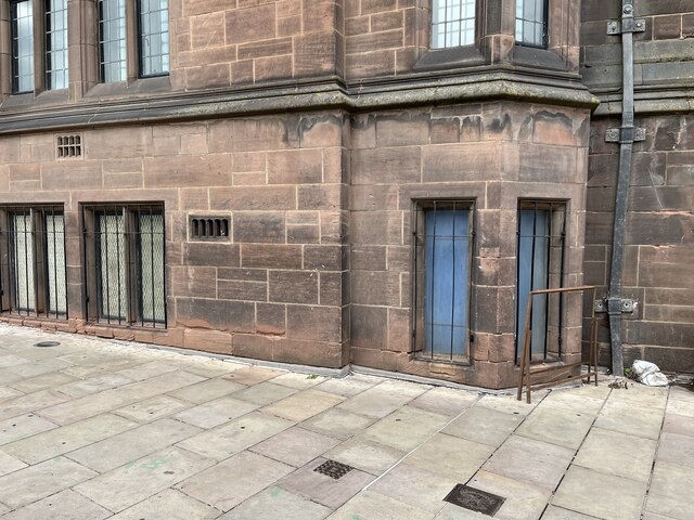
Image: © Adrian Taylor Taken: 25 Aug 2022
Detail of part of the south face of Coventry Council House near the south east corner facing onto Earl Street. There is an Ordnance Survey cut benchmark near the bottom of the wall (photograph Image). There is a square stop valve cover in the pavement and nearby is a small rectangular hydrant cover with the inscription ‘Coventry Waterworks’.
Images are licensed for reuse under creativecommons.org/licenses/by-sa/2.0
Image Location
Latitude
52.407017
Longitude
-1.507482