A walk round Martin's Pond (13)
Introduction
The photograph on this page of A walk round Martin's Pond (13) by Kate Jewell as part of the Geograph project.
The Geograph project started in 2005 with the aim of publishing, organising and preserving representative images for every square kilometre of Great Britain, Ireland and the Isle of Man.

There are currently over 7.5m images from over 14,400 individuals and you can help contribute to the project by visiting https://www.geograph.org.uk
A walk round Martin's Pond (13)
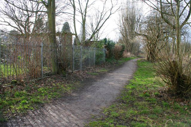
Image: © Kate Jewell Taken: 11 Mar 2008
Looking back along the path by the side of the previous image with the Pond to the right and the back gardens of houses on Russell Drive on the left. See http://www.nottinghamcity.gov.uk/www/greenspaces/Docs/MartinsPondmap.pdf for a map of the site. Previous image: Image, next image: Image
Images are licensed for reuse under creativecommons.org/licenses/by-sa/2.0
Image Location
Latitude
52.955705
Longitude
-1.21863