Mousehall Mill
Introduction
The photograph on this page of Mousehall Mill by David M Clark as part of the Geograph project.
The Geograph project started in 2005 with the aim of publishing, organising and preserving representative images for every square kilometre of Great Britain, Ireland and the Isle of Man.

There are currently over 7.5m images from over 14,400 individuals and you can help contribute to the project by visiting https://www.geograph.org.uk
Mousehall Mill
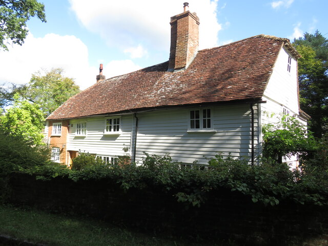
Image: © David M Clark Taken: 16 Sep 2022
Brick and weatherboarded 17th century listed building close to the Tide Brook.
Images are licensed for reuse under creativecommons.org/licenses/by-sa/2.0
Image Location
Latitude
51.043934
Longitude
0.29444