A walk round Martin's Pond (8)
Introduction
The photograph on this page of A walk round Martin's Pond (8) by Kate Jewell as part of the Geograph project.
The Geograph project started in 2005 with the aim of publishing, organising and preserving representative images for every square kilometre of Great Britain, Ireland and the Isle of Man.

There are currently over 7.5m images from over 14,400 individuals and you can help contribute to the project by visiting https://www.geograph.org.uk
A walk round Martin's Pond (8)
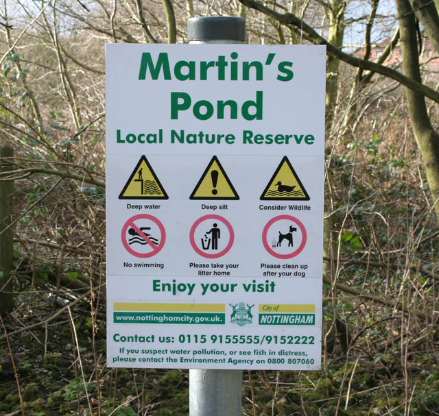
Image: © Kate Jewell Taken: 11 Mar 2008
Enjoy your visit? . . . If you dare! This sign in the wooded north west corner of the nature reserve reminds visitors to respect both their own safety and that of the environment while still inviting them to enjoy themselves. Note how close the urban sprawl is, just visible through the trees. See http://www.nottinghamcity.gov.uk/www/greenspaces/Docs/MartinsPondmap.pdf for a map of the site. Previous image: Image, next image: Image
Images are licensed for reuse under creativecommons.org/licenses/by-sa/2.0
Image Location
Latitude
52.956975
Longitude
-1.220394