A walk round Martin's Pond (7)
Introduction
The photograph on this page of A walk round Martin's Pond (7) by Kate Jewell as part of the Geograph project.
The Geograph project started in 2005 with the aim of publishing, organising and preserving representative images for every square kilometre of Great Britain, Ireland and the Isle of Man.

There are currently over 7.5m images from over 14,400 individuals and you can help contribute to the project by visiting https://www.geograph.org.uk
A walk round Martin's Pond (7)
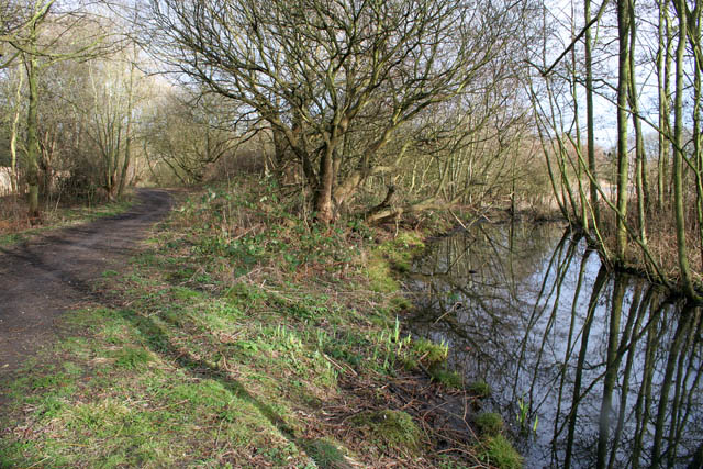
Image: © Kate Jewell Taken: 11 Mar 2008
As you progress along the northern edge of the pond the willow scrub becomes more mature and open, the roots holding the silt and leaf debris to form more solid ground, although it is still too soft to support visitors feet. Sensitive management of this area has provided a clear channel between the public access path and this marshy woodland to protect this vulnerable habitat. See http://www.nottinghamcity.gov.uk/www/greenspaces/Docs/MartinsPondmap.pdf for a map of the site. Previous image: Image, next image: Image
Images are licensed for reuse under creativecommons.org/licenses/by-sa/2.0
Image Location
Latitude
52.957144
Longitude
-1.218753