A walk round Martin's Pond (4)
Introduction
The photograph on this page of A walk round Martin's Pond (4) by Kate Jewell as part of the Geograph project.
The Geograph project started in 2005 with the aim of publishing, organising and preserving representative images for every square kilometre of Great Britain, Ireland and the Isle of Man.

There are currently over 7.5m images from over 14,400 individuals and you can help contribute to the project by visiting https://www.geograph.org.uk
A walk round Martin's Pond (4)
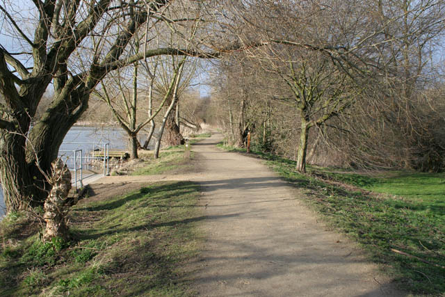
Image: © Kate Jewell Taken: 11 Mar 2008
There is a well surfaced path all the way round the Pond. On the eastern side it is fairly open with scrubby woodland to the east and mature willows along the edge of the water. In the distance the path runs into marshy willow beds and is much more enclosed. See http://www.nottinghamcity.gov.uk/www/greenspaces/Docs/MartinsPondmap.pdf for a map of the site. Previous image: Image, next image: Image
Images are licensed for reuse under creativecommons.org/licenses/by-sa/2.0
Image Location
Latitude
52.957492
Longitude
-1.21696