B6309 at Pont
Introduction
The photograph on this page of B6309 at Pont by Trevor Littlewood as part of the Geograph project.
The Geograph project started in 2005 with the aim of publishing, organising and preserving representative images for every square kilometre of Great Britain, Ireland and the Isle of Man.

There are currently over 7.5m images from over 14,400 individuals and you can help contribute to the project by visiting https://www.geograph.org.uk
B6309 at Pont
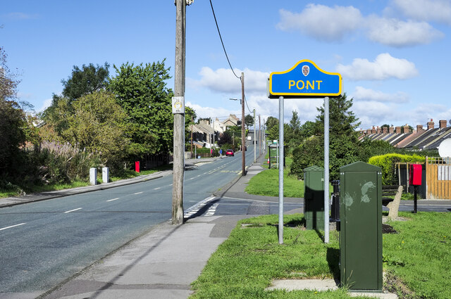
Image: © Trevor Littlewood Taken: 15 Sep 2022
Pont is a location in County Durham contiguous with Leadgate and presumably part of that same settlement. It has its own identity and its own County Durham road sign in the blue and yellow colours found in the county.
Images are licensed for reuse under creativecommons.org/licenses/by-sa/2.0
Image Location
Latitude
54.865967
Longitude
-1.814096