Old milemarker
Introduction
The photograph on this page of Old milemarker by Hilary Jones as part of the Geograph project.
The Geograph project started in 2005 with the aim of publishing, organising and preserving representative images for every square kilometre of Great Britain, Ireland and the Isle of Man.

There are currently over 7.5m images from over 14,400 individuals and you can help contribute to the project by visiting https://www.geograph.org.uk
Old milemarker
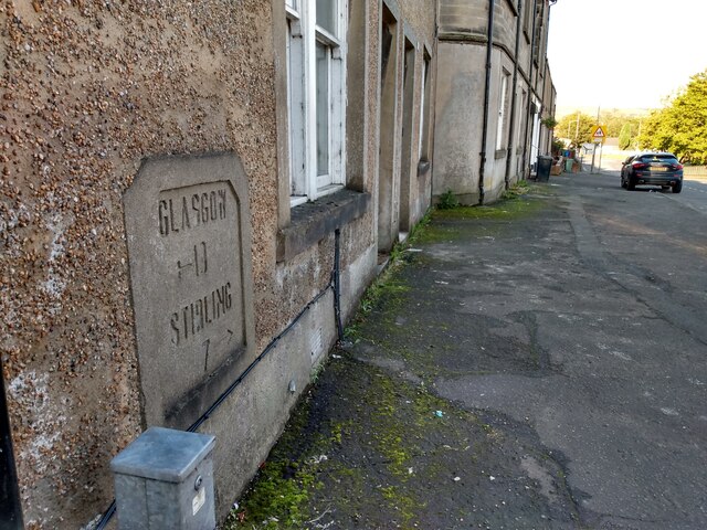
Image: © Hilary Jones Taken: 10 Sep 2022
A view looking west along Stirling Street before it turns to the north to cross Denny Bridge over the River Carron. The milemarker plaque is in the wall of 111 Stirling Street.
Images are licensed for reuse under creativecommons.org/licenses/by-sa/2.0
Image Location
Latitude
56.024632
Longitude
-3.910746