Towpath on the Monkland Canal near Bargeddie
Introduction
The photograph on this page of Towpath on the Monkland Canal near Bargeddie by wrobison as part of the Geograph project.
The Geograph project started in 2005 with the aim of publishing, organising and preserving representative images for every square kilometre of Great Britain, Ireland and the Isle of Man.

There are currently over 7.5m images from over 14,400 individuals and you can help contribute to the project by visiting https://www.geograph.org.uk
Towpath on the Monkland Canal near Bargeddie
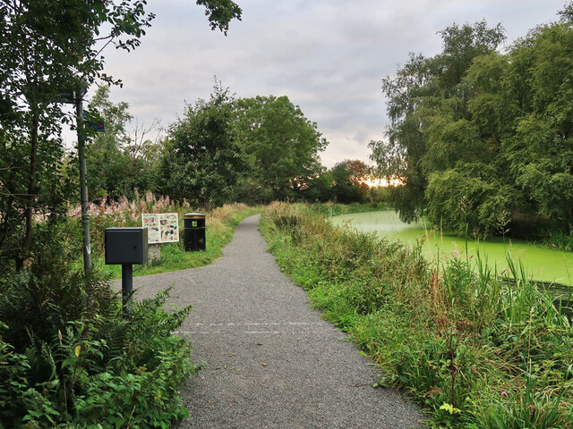
Image: © wrobison Taken: 10 Sep 2022
National Cycle Route 75 follows the towpath to this point and then turns left to go through a housing estate and then Bargeddie. The canal stops a short distance further on. The rest of the canal to Port Dundas was converted to a culvert in the 1970s and most of it is now under the M8 motorway. Drumpellier Colliery Pits 3&4 were on the other side of the canal.
Images are licensed for reuse under creativecommons.org/licenses/by-sa/2.0
Image Location
Latitude
55.861227
Longitude
-4.068105