Private track, Thorn Common
Introduction
The photograph on this page of Private track, Thorn Common by Robin Webster as part of the Geograph project.
The Geograph project started in 2005 with the aim of publishing, organising and preserving representative images for every square kilometre of Great Britain, Ireland and the Isle of Man.

There are currently over 7.5m images from over 14,400 individuals and you can help contribute to the project by visiting https://www.geograph.org.uk
Private track, Thorn Common
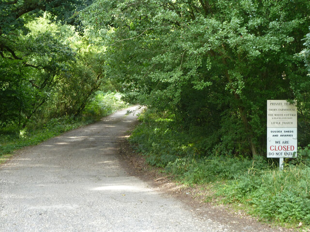
Image: © Robin Webster Taken: 21 Aug 2011
Despite the sign, the common, which the track crosses, is registered common land, and so has public access on foot.
Images are licensed for reuse under creativecommons.org/licenses/by-sa/2.0
Image Location


Leaflet Map data © OpenStreetMap
Latitude
50.983743
Longitude
-0.515931