Vicarage Lane, Dunchurch
Introduction
The photograph on this page of Vicarage Lane, Dunchurch by Stephen McKay as part of the Geograph project.
The Geograph project started in 2005 with the aim of publishing, organising and preserving representative images for every square kilometre of Great Britain, Ireland and the Isle of Man.

There are currently over 7.5m images from over 14,400 individuals and you can help contribute to the project by visiting https://www.geograph.org.uk
Vicarage Lane, Dunchurch
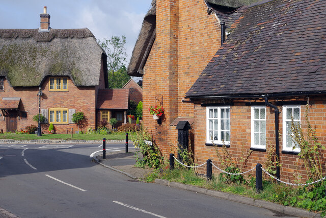
Image: © Stephen McKay Taken: 9 Sep 2022
Just ahead is the junction of Vicarage Lane and Rugby Road in the most attractive part of the village.
Images are licensed for reuse under creativecommons.org/licenses/by-sa/2.0
Image Location
Latitude
52.337732
Longitude
-1.28886