The old Vicar's Poor Houses
Introduction
The photograph on this page of The old Vicar's Poor Houses by Neil Owen as part of the Geograph project.
The Geograph project started in 2005 with the aim of publishing, organising and preserving representative images for every square kilometre of Great Britain, Ireland and the Isle of Man.

There are currently over 7.5m images from over 14,400 individuals and you can help contribute to the project by visiting https://www.geograph.org.uk
The old Vicar's Poor Houses
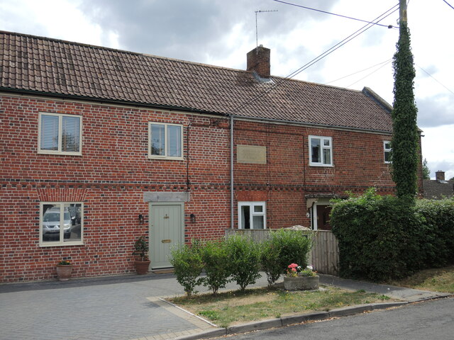
Image: © Neil Owen Taken: 4 Aug 2022
North Bradley has a long history of agricultural and cottage industries, with some times being more prosperous than others. During the leaner times people became all but destitute and efforts were made to help them. Step forward one Charles Daubeny: he built the almshouses (later called asylum) and school in 1810 near the Southwick Road. By 1818 he had opened the Vicar’s poor house for destitute people on Church Lane. These were later sold on as St Nicholas Cottages in the 1960s.
Images are licensed for reuse under creativecommons.org/licenses/by-sa/2.0
Image Location
Latitude
51.293947
Longitude
-2.206756