Ruin, Bedham
Introduction
The photograph on this page of Ruin, Bedham by Robin Webster as part of the Geograph project.
The Geograph project started in 2005 with the aim of publishing, organising and preserving representative images for every square kilometre of Great Britain, Ireland and the Isle of Man.

There are currently over 7.5m images from over 14,400 individuals and you can help contribute to the project by visiting https://www.geograph.org.uk
Ruin, Bedham
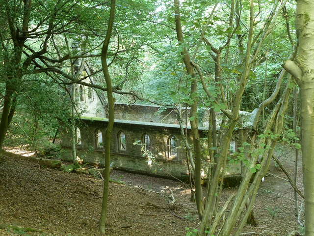
Image: © Robin Webster Taken: 21 Aug 2011
Built 1880 as a church and school, the school use closing in 1925 and final closure in 1959.
Images are licensed for reuse under creativecommons.org/licenses/by-sa/2.0
Image Location
Latitude
50.988355
Longitude
-0.553826