Geological fault
Introduction
The photograph on this page of Geological fault by Alan Hughes as part of the Geograph project.
The Geograph project started in 2005 with the aim of publishing, organising and preserving representative images for every square kilometre of Great Britain, Ireland and the Isle of Man.

There are currently over 7.5m images from over 14,400 individuals and you can help contribute to the project by visiting https://www.geograph.org.uk
Geological fault
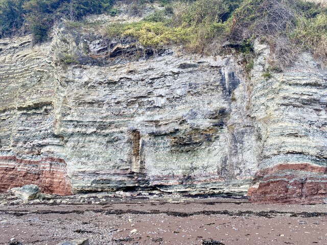
Image: © Alan Hughes Taken: 8 Sep 2022
Some sort of displacement has occurred here but I don’t know the geological explanation. Help, anybody?
Images are licensed for reuse under creativecommons.org/licenses/by-sa/2.0
Image Location
Latitude
51.417661
Longitude
-3.171672