Llys Pentwyn-uchaf Farm, Oakdale
Introduction
The photograph on this page of Llys Pentwyn-uchaf Farm, Oakdale by M J Roscoe as part of the Geograph project.
The Geograph project started in 2005 with the aim of publishing, organising and preserving representative images for every square kilometre of Great Britain, Ireland and the Isle of Man.

There are currently over 7.5m images from over 14,400 individuals and you can help contribute to the project by visiting https://www.geograph.org.uk
Llys Pentwyn-uchaf Farm, Oakdale
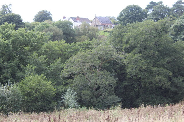
Image: © M J Roscoe Taken: 11 Sep 2022
Farm, and The Barn to its right, viewed across the Nant Philkins from edge of new housing estate.
Images are licensed for reuse under creativecommons.org/licenses/by-sa/2.0
Image Location
Latitude
51.674329
Longitude
-3.17655