Site of former railway bridge
Introduction
The photograph on this page of Site of former railway bridge by Kevin Waterhouse as part of the Geograph project.
The Geograph project started in 2005 with the aim of publishing, organising and preserving representative images for every square kilometre of Great Britain, Ireland and the Isle of Man.

There are currently over 7.5m images from over 14,400 individuals and you can help contribute to the project by visiting https://www.geograph.org.uk
Site of former railway bridge
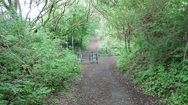
Image: © Kevin Waterhouse Taken: 21 May 2022
View along the former track bed of the Rochdale to Bacup branch line where it crossed Lower Healey Lane. The track bed is now a cycleway
Images are licensed for reuse under creativecommons.org/licenses/by-sa/2.0
Image Location
Latitude
53.631681
Longitude
-2.165548