Wick Moor Drove
Introduction
The photograph on this page of Wick Moor Drove by Roger Cornfoot as part of the Geograph project.
The Geograph project started in 2005 with the aim of publishing, organising and preserving representative images for every square kilometre of Great Britain, Ireland and the Isle of Man.

There are currently over 7.5m images from over 14,400 individuals and you can help contribute to the project by visiting https://www.geograph.org.uk
Wick Moor Drove
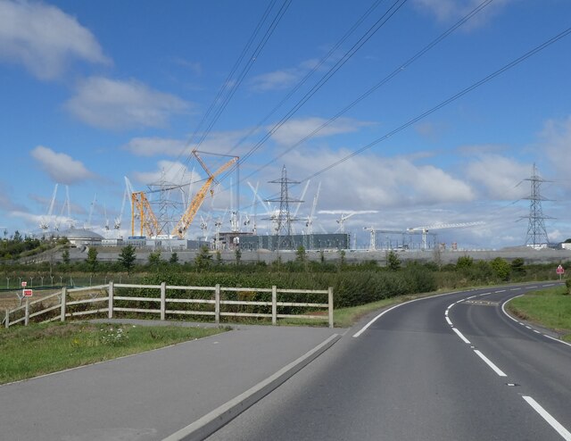
Image: © Roger Cornfoot Taken: 10 Sep 2022
Now acts as the main access road for Hinkley Point C power station.
Images are licensed for reuse under creativecommons.org/licenses/by-sa/2.0
Image Location


Leaflet Map data © OpenStreetMap
Latitude
51.20342
Longitude
-3.140175