Nidderdale, Burnt Yates, B6165
Introduction
The photograph on this page of Nidderdale, Burnt Yates, B6165 by Mel Towler as part of the Geograph project.
The Geograph project started in 2005 with the aim of publishing, organising and preserving representative images for every square kilometre of Great Britain, Ireland and the Isle of Man.

There are currently over 7.5m images from over 14,400 individuals and you can help contribute to the project by visiting https://www.geograph.org.uk
Nidderdale, Burnt Yates, B6165
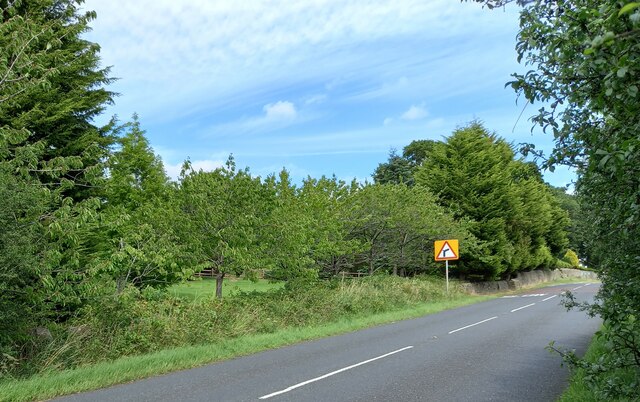
Image: © Mel Towler Taken: 1 Aug 2022
According to the OS benchmark database there is a pivot benchmark cut into the roadside wall on the north side of the B6165. The wall is surrounded by dense vegetation and brambles and no search was made.
Images are licensed for reuse under creativecommons.org/licenses/by-sa/2.0
Image Location
Latitude
54.046541
Longitude
-1.62442