Nidderdale, Burnt Yates, B6165
Introduction
The photograph on this page of Nidderdale, Burnt Yates, B6165 by Mel Towler as part of the Geograph project.
The Geograph project started in 2005 with the aim of publishing, organising and preserving representative images for every square kilometre of Great Britain, Ireland and the Isle of Man.

There are currently over 7.5m images from over 14,400 individuals and you can help contribute to the project by visiting https://www.geograph.org.uk
Nidderdale, Burnt Yates, B6165
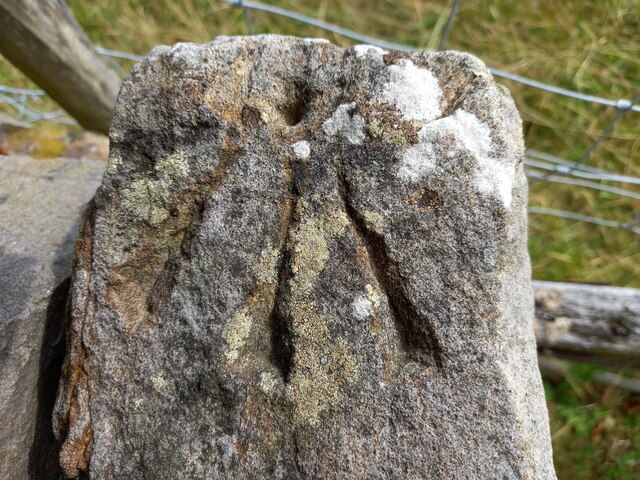
Image: © Mel Towler Taken: 1 Aug 2022
The pivot benchmark is cut into the top of a field entrance gatepost on the south side of the B6165, and to the west of Burnt Yates.
Images are licensed for reuse under creativecommons.org/licenses/by-sa/2.0
Image Location
Latitude
54.04567
Longitude
-1.633438