Cherry Hinton: progress at Trinity Fields
Introduction
The photograph on this page of Cherry Hinton: progress at Trinity Fields by John Sutton as part of the Geograph project.
The Geograph project started in 2005 with the aim of publishing, organising and preserving representative images for every square kilometre of Great Britain, Ireland and the Isle of Man.

There are currently over 7.5m images from over 14,400 individuals and you can help contribute to the project by visiting https://www.geograph.org.uk
Cherry Hinton: progress at Trinity Fields
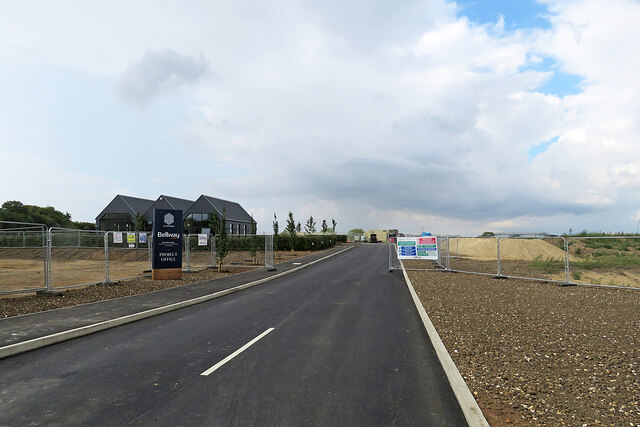
Image: © John Sutton Taken: 10 Sep 2022
A new estate is being built on land next to the airport on the northern edge of Cherry Hinton. For comparison, see Image] (June 2022).
Images are licensed for reuse under creativecommons.org/licenses/by-sa/2.0
Image Location
Latitude
52.195621
Longitude
0.182672