Somerton tithe barn
Introduction
The photograph on this page of Somerton tithe barn by Neil Owen as part of the Geograph project.
The Geograph project started in 2005 with the aim of publishing, organising and preserving representative images for every square kilometre of Great Britain, Ireland and the Isle of Man.

There are currently over 7.5m images from over 14,400 individuals and you can help contribute to the project by visiting https://www.geograph.org.uk
Somerton tithe barn
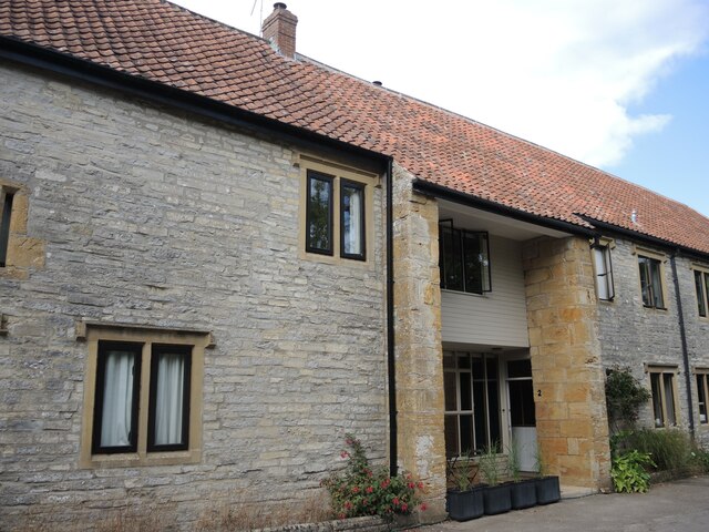
Image: © Neil Owen Taken: 28 Jul 2022
The barn dates from the fifteenth century and is associated with the nearby Parsonage Farm, but was sold in 1921 and is now converted into residential units. Grade II listed, despite the many significant changes in its history.
Images are licensed for reuse under creativecommons.org/licenses/by-sa/2.0
Image Location


Leaflet Map data © OpenStreetMap
Latitude
51.052609
Longitude
-2.724142