A9 Underpass at Tain
Introduction
The photograph on this page of A9 Underpass at Tain by David Bremner as part of the Geograph project.
The Geograph project started in 2005 with the aim of publishing, organising and preserving representative images for every square kilometre of Great Britain, Ireland and the Isle of Man.

There are currently over 7.5m images from over 14,400 individuals and you can help contribute to the project by visiting https://www.geograph.org.uk
A9 Underpass at Tain
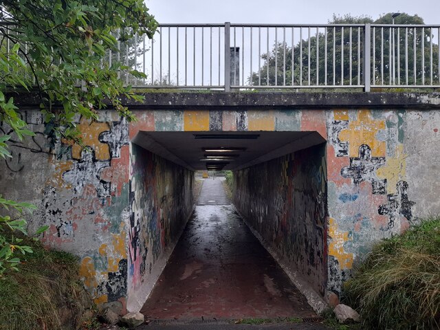
Image: © David Bremner Taken: 7 Sep 2022
An underpass beneath the A9. The John o'Groats Trail makes use of it.
Images are licensed for reuse under creativecommons.org/licenses/by-sa/2.0
Image Location
Latitude
57.806552
Longitude
-4.065639