Fordwich town
Introduction
The photograph on this page of Fordwich town by David M Clark as part of the Geograph project.
The Geograph project started in 2005 with the aim of publishing, organising and preserving representative images for every square kilometre of Great Britain, Ireland and the Isle of Man.

There are currently over 7.5m images from over 14,400 individuals and you can help contribute to the project by visiting https://www.geograph.org.uk
Fordwich town
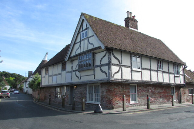
Image: © David M Clark Taken: 4 Jul 2019
Was the port for Canterbury until navigation on the River Stour became difficult. Retained its status as a town with its own mayor until 1883.
Images are licensed for reuse under creativecommons.org/licenses/by-sa/2.0
Image Location
Latitude
51.294841
Longitude
1.12605