Douglas Avenue
Introduction
The photograph on this page of Douglas Avenue by Mr Ignavy as part of the Geograph project.
The Geograph project started in 2005 with the aim of publishing, organising and preserving representative images for every square kilometre of Great Britain, Ireland and the Isle of Man.

There are currently over 7.5m images from over 14,400 individuals and you can help contribute to the project by visiting https://www.geograph.org.uk
Douglas Avenue
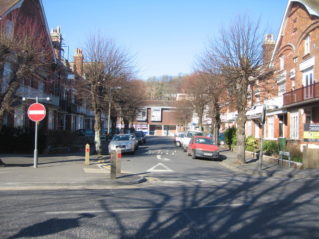
Image: © Mr Ignavy Taken: 17 Feb 2008
Hythe High Street can be seen at the far end. The High St still retains a certain degree of character with the individual shop managing to survive against the odds.
Images are licensed for reuse under creativecommons.org/licenses/by-sa/2.0
Image Location


Leaflet Map data © OpenStreetMap
Latitude
51.071874
Longitude
1.088291