Stone Stile SW5535e
Introduction
The photograph on this page of Stone Stile SW5535e by Linda King as part of the Geograph project.
The Geograph project started in 2005 with the aim of publishing, organising and preserving representative images for every square kilometre of Great Britain, Ireland and the Isle of Man.

There are currently over 7.5m images from over 14,400 individuals and you can help contribute to the project by visiting https://www.geograph.org.uk
Stone Stile SW5535e
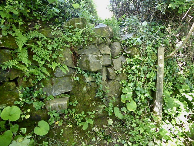
Image: © Linda King Taken: 17 Jun 2021
To the left of The Old Vicarage entrance/drive is a wall with stones protruding. Once over this wall the path leads to St Erth, passing St Erth Pits en route. Stones protruding from the wall – a sheep stile. Public footpath 111/32/2 gold from The Old Vicarage to St Erth.
Images are licensed for reuse under creativecommons.org/licenses/by-sa/2.0
Image Location
Latitude
50.16468
Longitude
-5.420767